Service WFS pour les emprises nadir de NOMAD
Traductions: en
Dans sa mission de diffusion des données, PSUP propose désormais de mettre à disposition des services de données basé sur le standard WFS de l’Open Geospatial Consortium.
La première utilisation de ce service est les emprises au sol et métadonnées de l’instrument NOMAD de l’orbiteur martien Trace Gas Orbiter (ESA), en partenariat avec l’équipe instrumentale.
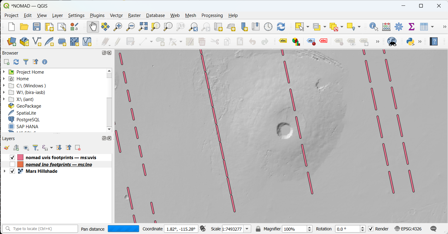
Le service permettra à l’équipe d’afficher les emprises et informations des observations LNO et UVIS dans des logiciels comme QGIS :


Lien vers la page du site NOMAD : https://nomad.aeronomie.be/index.php/data/nadir-fooprints-available-online.